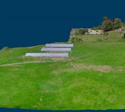
Geo-4D - 3D Ground Modelling
Price: CALL FOR ASSISTANCE
Geo-4D offers full ground modelling capability and expertise combined with data QC and management services. We use the only software available that enables full interaction with all relevant site data, on dedicated work stations, avoiding the use of multiple software packages and awkward file exchange formats.
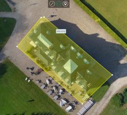
Geo-4D - Online Portal: Air Support by Parrot
Price: CALL FOR ASSISTANCE
Through our partnership with Parrot AS, Geo-4D can offer a fully interactive, online delivery platform for 2D and 3D drone data. Visualise 3D models of your buildings, 2D orthomosaics of your full site and add accurate measurements & calculate volumes, without the need to download specific software packages.