Skeye - Aerial Surveying & Mapping
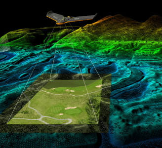
Skeye uses drones (small unmanned helicopters and aircraft) to make aerial photographs at low altitude. With these pictures we make 3D digital height and terrain models and orthophoto mosaics (underlayers images).
The Detail
For you as a customer, the use of a drone offers a number of advantages over conventional aerial photography or GPS measurements in the terrain.
This technique can be used very quickly because it can also be flown with cloud cover. You'll also get better results, both in resolution and accuracy, because photos are taken very close.
Read moreAlso in terms of costs, the dedication of a drone is very attractive. On average, the use of a drone is up to four times cheaper than traditional aerial photography.
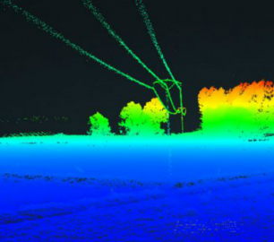
With the use of photogrammetry we are able to obtain all heights, of a landscaped area. At each height (Z) the coordinates (X, Y) are also recorded. This creates a digital terrain model that can be calculated quickly and accurately. The volume of a stockberg can be calculated relative to a base plane or if two measurements take place at different times, a difference calculation can be made.
The quality of the digital terrain models is very high. Recent projects showed a maximum deviation of only 20 mm. The metering density (point density) can reach up to 1000 points per square meter!
In cooperation with our sister company Deep BV from Amsterdam we are also able to make digital terrain models that extend under the water level.
In addition, the photographs are corrected for differences in altitude and color differences due to changing weather conditions. Then all the photos of an area are counted together into one seamless image. These can then be used directly in a CAD or GIS to measure or map.
You may also like
Microbyte Solutions Ltd
White Label 24/7 IT Helpdesk
CALL FOR PRICE
You can outsource your IT Helpdesk from only £500 a month.Microbyte White Label boosts your suppo
Product DetailTeal Consulting

Operational Excellence
CALL FOR ASSISTANCE
Teal Consulting - Operational ExcellenceOperational excellence is crucial to businesses achieving
Product DetailHeven Drones
H100
CALL FOR ASSISTANCE
The H100 represents the beginning of Hevens heavy lifter drones.
Product DetailtlmNexus Ltd
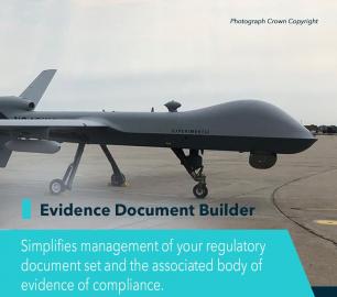
EVIDENCE DOCUMENT BUILDER
CALL FOR ASSISTANCE
Tool overview: what will Evidence Document Builder (EDB) solve for me? Complying with t
Product Detail
Microbyte Solutions Ltd

Telecoms
CALL FOR ASSISTANCE
Complete telecoms for a fixed monthly feeWhen it comes to business grade telephone solutions,
Product Detail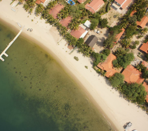
DRONE TRACKING TECHNOLOGIES
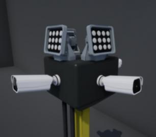
The F-Series VAD drone detection system
CALL FOR ASSISTANCE
The F-Series VAD drone detection system.
Product DetailtlmNexus Ltd
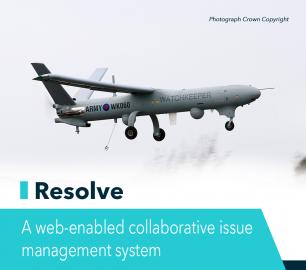
RESOLVE
CALL FOR ASSISTANCE
Tool overview: what will Resolve solve for me?Equipment issues that affect airworthiness, saf
Product DetailDRONE TRACKING TECHNOLOGIES
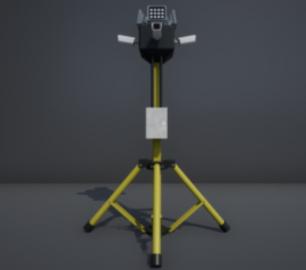
The P-Series VAD drone detection system
CALL FOR ASSISTANCE
The P-Series VAD drone detection system
Product Detail
Heven Drones
H250
CALL FOR ASSISTANCE
The H250 will be the workhorse of Heven’s heavy lifting drones.
Product Detail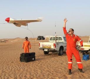
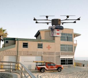
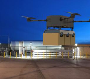
Valqari
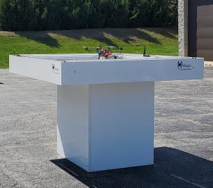
Valqari Single Locker (DevKit) Drone Delivery Station
CALL FOR ASSISTANCE
The Valqari single locker (DevKit) drone delivery station, enables full autonomous point-to-poi
Product DetailtlmNexus Ltd
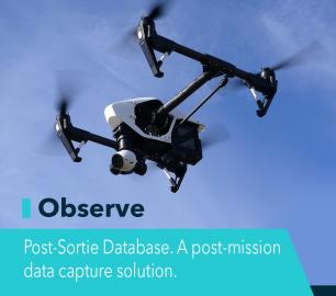
OBSERVE
CALL FOR ASSISTANCE
Tool overview: what will Observe -Post-Sortie Database solve for me?Designed by pilots for pi
Product Detail