Industry in Environment

Wildlife Surveillance
Airborne drones can unobtrusively monitor wildlife activity all over the world, providing information on conservation efforts, migration patterns, and habitat health.

Disaster Response
Whether it be a man-made or natural disaster, drones (ground, underwater, and air alike) are valuable tools for collecting data on the conditions of the affected environment. The versatile suites of software drones can carry allows them to gather a wide variety of information on the effects the disaster is having on the environment (including wildlife, plant health, water toxicity, etc.) in real time.

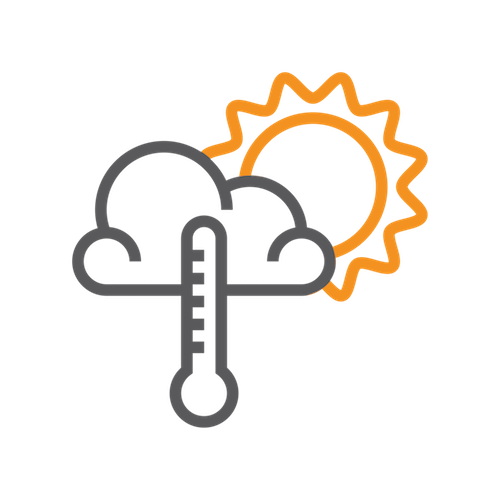
High-Danger Storm Analysis
In the cases of highly dangerous weather events like hurricanes or tornadoes, the best options for gathering invaluable data are unmanned systems. Whether it is an unmanned ground-based tornado chasing vehicle, or a hardy high-altitude aircraft sent into the heart of a hurricane, drones are the best way to perform analysis on these storms without endangering human lives.
Atmospheric Analysis
High-altitude, long endurance unmanned aircraft can be used to collect data on the Earth’s atmosphere, and how it changes over time due to factors like climate change.
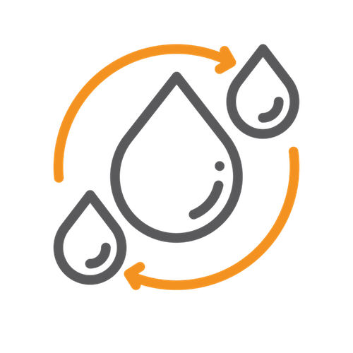
Water Quality Analysis
Aquatic drones (both surface and subsurface) can be used to test water quality in lakes, rivers, and other waterways in real time using suites of onboard sensing equipment.

Wildlife Protection
High altitude, long-endurance Airborne drones used as surveillance platforms to monitor habitats of endangered species would provide constant protection for animals that are threatened by illegal hunting.
Anti-Waste Environmental Protection
A network of high-altitude drones in the air, monitoring suspected illegal toxic waste dump sites would be a cost-effective way to ensure that environmental regulations regarding toxic waste disposal are adhered to through 24-hour surveillance that has the capability to hold violators of these regulations accountable.

Insurance Claims
Airborne drones are already in use assisting insurance companies in documenting damages to properties caused by extreme weather, in order to more efficiently fulfil insurance claims in the event of large-scale property damage.
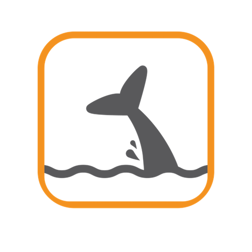
Oceanic Habitat Analysis
Aquatic drones (both surface and subsurface) will be used to aid in the collection of data regarding changes in oceanic habitats around the world, to better understand how they are changing over time, and how these changes may affect weather, wildlife, and fisheries.